10 Amazing Family Canoe Trips
Our favorite routes for paddlers of all ages and abilities.
5 Min. Read | Paddling
There’s something about canoeing that just brings people together; maybe it’s the shared space of the boat, or the need to paddle in harmony toward a common goal, or that unique, almost-effortless sense of being carried by the water. Whatever the reason, a canoe trip is the perfect way to share the fun and joy of the outdoors with loved ones. To help you begin (or continue) your family canoeing tradition, we’ve assembled 10 of the best family-friendly routes in the lower 48. Keep in mind that any of these outings can be shortened (or lengthened!) to fit your needs; just be sure to employ the old paddler’s trick of paddling against the current on your way out. That way, you’ll have a bit of welcome help during the second half of your journey.
1. Boundary Waters Canoe Area Wilderness (MN)
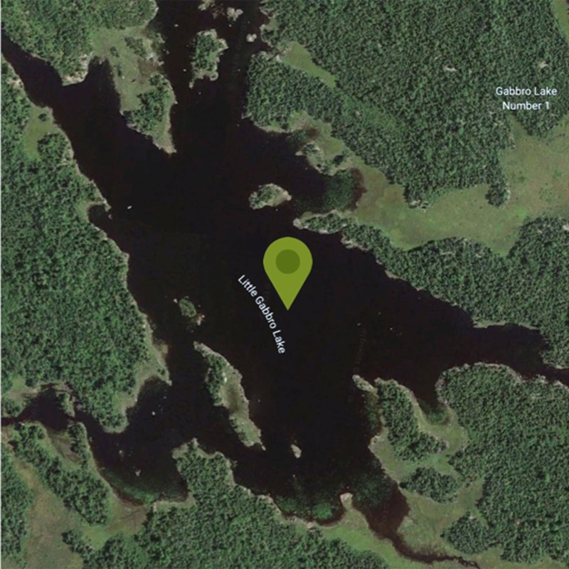
Route: Little Gabbro Lake
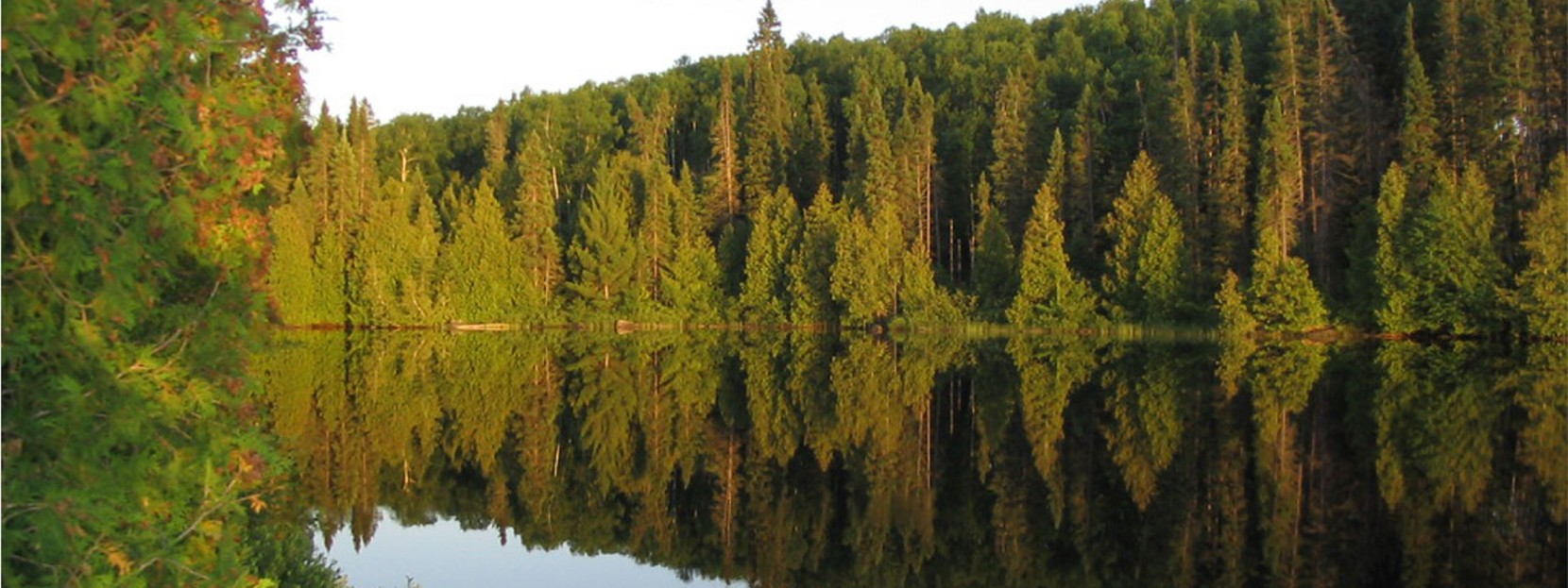
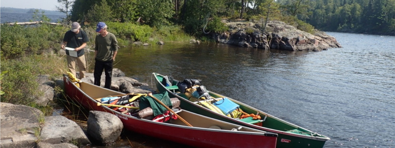
Little Gabbro Lake comprises just a fraction of the water coursing through the one million-plus acres known as the BWCAW (aka “Boundary Waters”). We like Little Gabbro because it boasts stunning wilderness, amazing fishing, endless opportunities for deeper exploration, and perhaps most importantly, reliably calm waters.
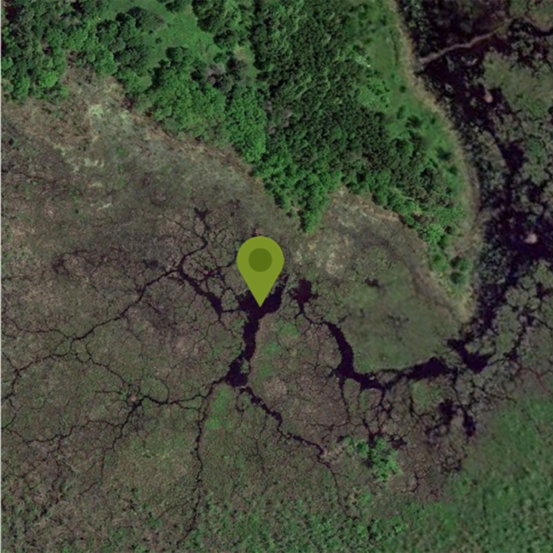
Put-in: Little Gabbro Lake, Stony River Township
Distance: You decide!
Take Note: Permits are required for entry into the Boundary Waters; you can find more information on reserving yours here.
2. Buffalo National River (AR)
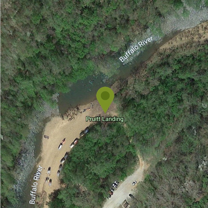
Route: Pruitt Landing to Hasty
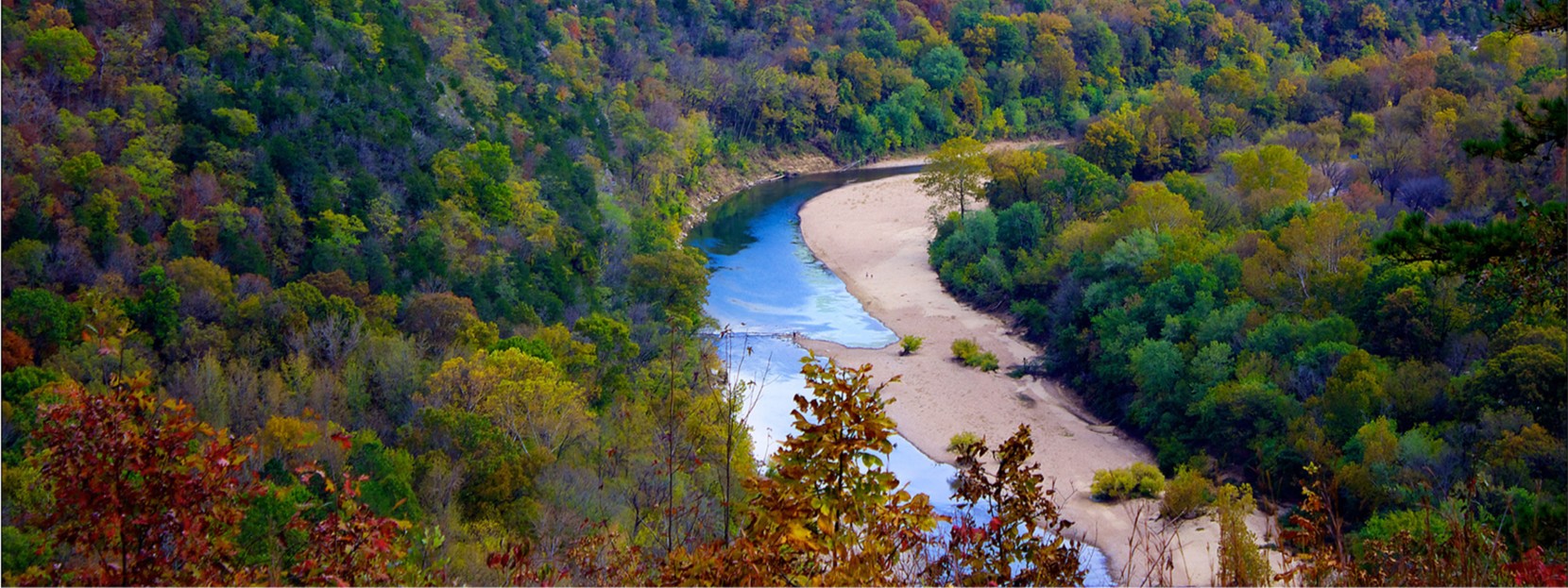
Slicing through the Arkansas Ozarks, the Buffalo National River is one of the lower 48’s few remaining undammed rivers. It’s also a fantastic place to get a taste for family canoeing, thanks to forgiving water, incredible scenery, and numerous day-trip options. The most scenic, family-friendly stretch is Pruitt Landing to Hasty; you’ll pass numerous bluffs and tantalizing swimming holes, so be sure to leave yourself time for a dip
Put-in: Pruitt Landing, Harrison, Arkansas
Distance: 7 miles (one-way, shuttle)
Shuttle service and boat rental:Buffalo Outdoor Center
Take note: If you have the time and the inclination, set up camp at Steel Creek Campground, and use it as a home base from which to explore everything the river and the region has to offer.
3. Loxahatchee River (FL)
Route: Loxahatchee River State Paddling Trail
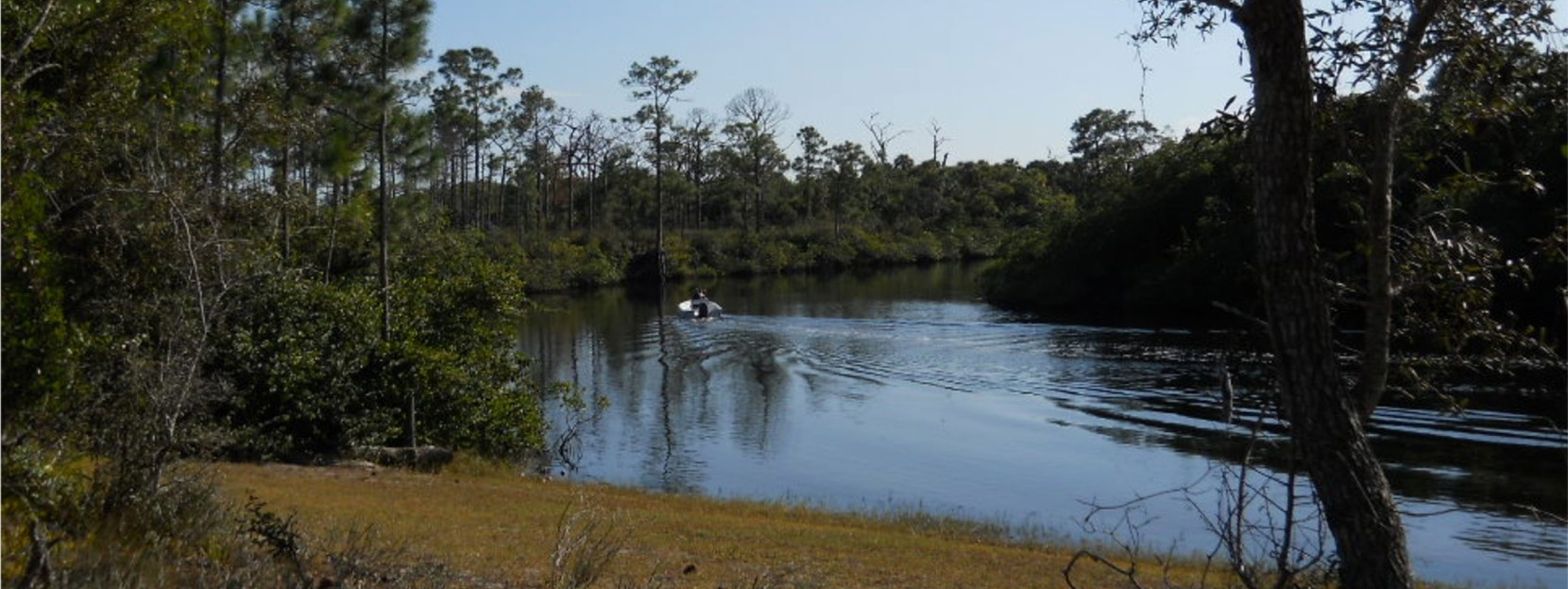
One of the unique aspects of Florida is how quickly you can escape the urban centers and find yourself immersed in the region’s stunning natural ecosystem. And nowhere is this more true than on the Loxahatchee River paddling trail. Wending for 8.5 miles through a cypress forest and a mangrove estuary, the trail is a relatively easy one-way paddle, and a more ambitious out-and-back adventure.
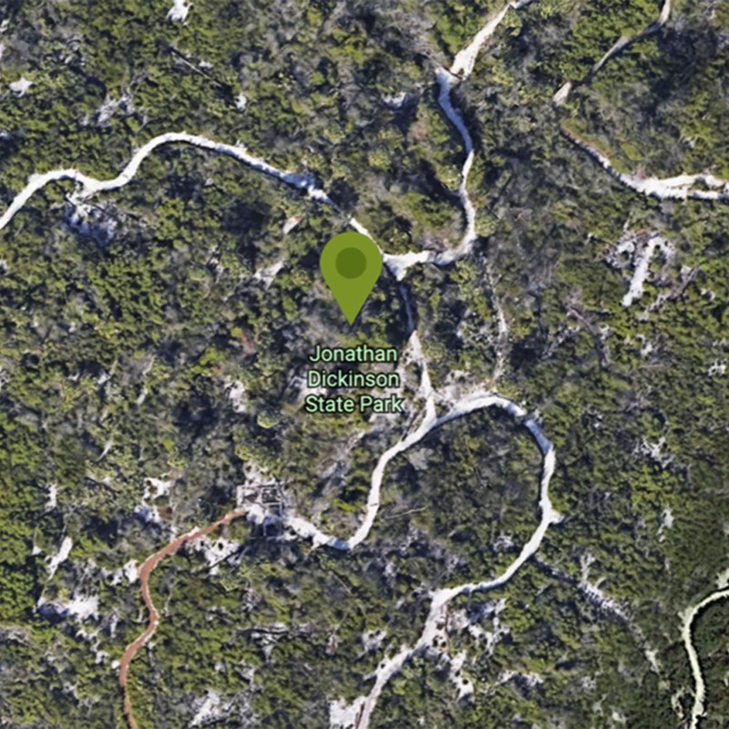
Put-in: Jonathan Dickinson State Park, Hobe Sound, Florida
Distance: 8.5 miles (one-way, shuttle)
Shuttle service and boat rental:Jupiter Outdoor Center
Take note: For a shorter paddle, begin at Jonathan Dickinson State Park, and look for Kitching Creek at mile 1.7. In only a mile, Kitching delivers a microcosm of everything the full trail offers.
4. Northern Forest Canoe Trail (VT)
Route: Missisquoi National Wildlife Refuge
Consisting of 23 rivers and streams, along with 59 lakes and ponds, the Northern Forest Canoe Trail runs through four states, covering 740 miles. That’s a bit much for a relaxed family outing, so we suggest an afternoon exploration of Vermont’s Missisquoi National Wildlife Refuge, where you’ll find ideal habitat for migratory songbirds. It’s also a refuge for Great Blue Heron, so expect frequent sightings.
Put-in: Louie’s Landing, Swanton, Vermont
Distance: You decide!
Take note: The put-in at Louie’s Landing is only 45-minutes south of Burlington, Vermont’s largest city, renowned for good music, great food, and a lively vibe that’s worth making time for.
5. Big River (CA)
Route: Big River Estuary
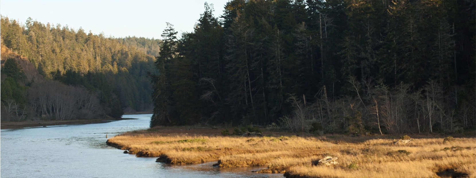
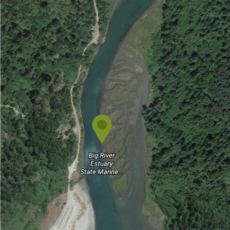
The Big River is a tidal river, meaning its waters flow in accordance with the nearby ocean tides. Still, it’s the lush wetlands, the diverse wildlife including otters, beavers, bobcats, foxes, and seals, as well as over 130 bird species, that are likely to capture your attention. Just be aware of that tide, and try to plan your paddle to take full advantage of its natural ebb and flow, and if you’re feeling a little tired, remember that you don’t have to go the full distance.
Put-in: Mendocino County, California
Distance: 8.3 miles (one way, no shuttle)
Boat rental:Catch a Canoe
Take note: Stretch your legs along the hiking trail that traces the river. Or try stand up paddle boarding: The relaxed nature of the Big River makes it ideal for newbie SUP’ers.
6. Upper Missouri River (MT)
Route: Fort Benton to Coal Banks Landing
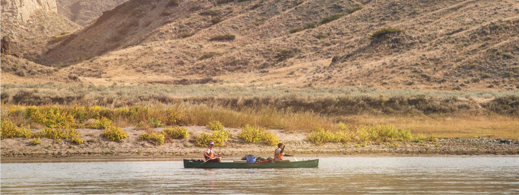
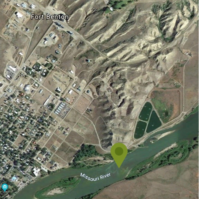
History buffs will love following in the paddle strokes of Lewis and Clark, as they float past old homesteads and fur trading sites. This is a fantastic introduction to multi-day canoe camping, offering the opportunity to pitch a tent in the footprints of the renowned explorers. And everyone will appreciate the relaxed nature of this 41-mile segment (though you can go for less!), which features no rapids, but more than makes up for it with quintessential big sky scenery.
Put-in: Fort Benton, Montana
Distance: 41 miles (one-way, shuttle)
Shuttle service and boat rental:Missouri River Outfitters
Take note: There is no potable water for the entirety of this route, and because of cattle and sediment, filter and boiling aren’t options. Be sure to pack plenty of water!
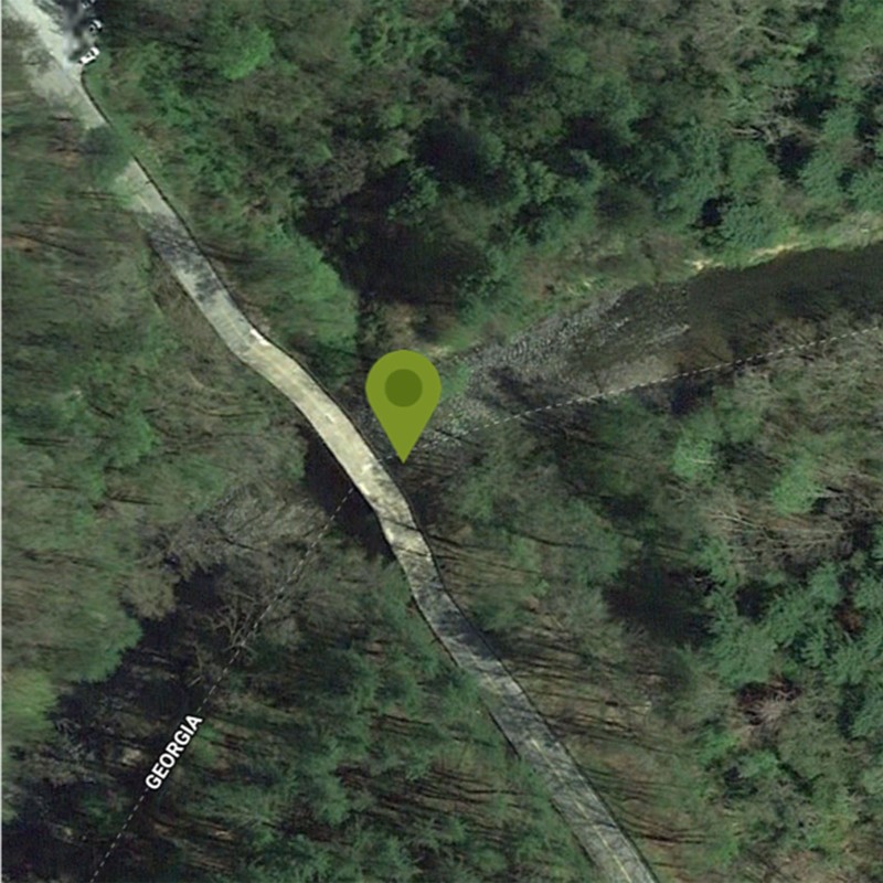
7. Chattooga River (GA)
Route: Section II
The undammed Chattooga boasts some of the east’s most spectacular wilderness scenery, as well as some of the most coveted whitewater this side of the Mississippi. Less ambitious paddlers will find plenty of places to wet their paddles: Section II consists primarily of calm water, with some Class II rapids offering lessons in reading water currents, identifying eddies, and honing river navigation skills. This is the perfect stretch of water for families with some paddling experience and a desire to take it up a notch.
Put-in: Russell Bridge, Oconee County
Distance: 7.4 miles (one way, shuttle)
Shuttle service and boat rental:Chattooga Whitewater Outfitters
Take note: The most energetic rapid, Big Shoals, comes at approximately four miles in, and is rated Class II+ to Class III. The easiest line is along the right bank; still, there’s no shame in portaging around Big Shoals. Remember: you can always come back and run it another day.
8. Upper Iowa River (IA)
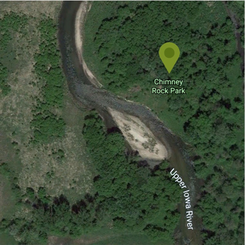
Route: Chimney Rock Road to Bluffton Road
Considering that National Geographic magazine designated the Upper Iowa River as one of America’s 100 Great Adventures, it’s no surprise it attracts plenty of visitors. But if you can avoid peak weekends, the chances of having this stunning, limestone bluff-studded waterway to yourself (or nearly so) are high. The entire river cuts through 140-miles of geologically unique and majestic Driftless Area, but we’re particularly fond of the 5-mile segment between Chimney Rock Road and Bluffton Road.
Put-in: Chimney Rock Park, Bluffton, Iowa
Distance: 5 miles (one-way, shuttle)
Shuttle service and boat rental:Hutchinson Family Farm Campground
Take note: Hutchinson Family Farm Campground, located in the charming riverside town of Decorah, is an ideal base for exploration. They offer cabins and tenting, as well as boat rentals and a shuttle service.
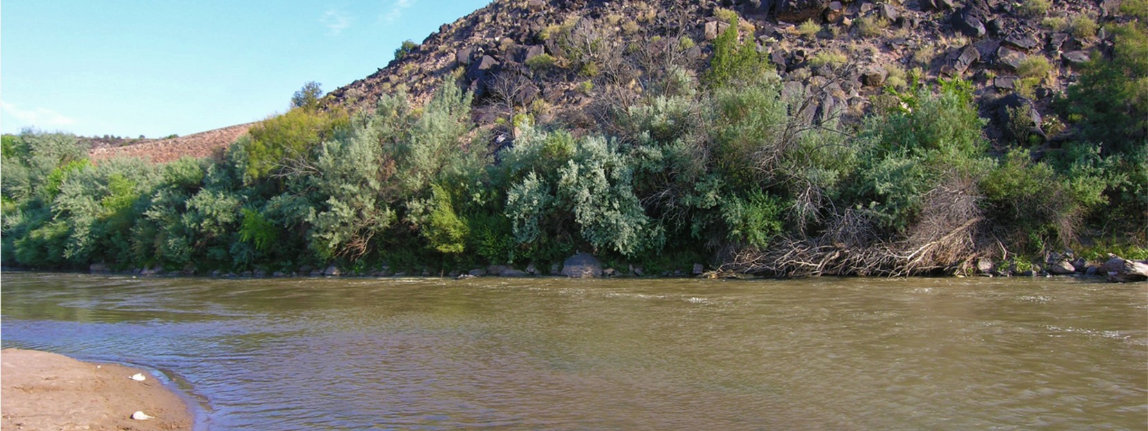
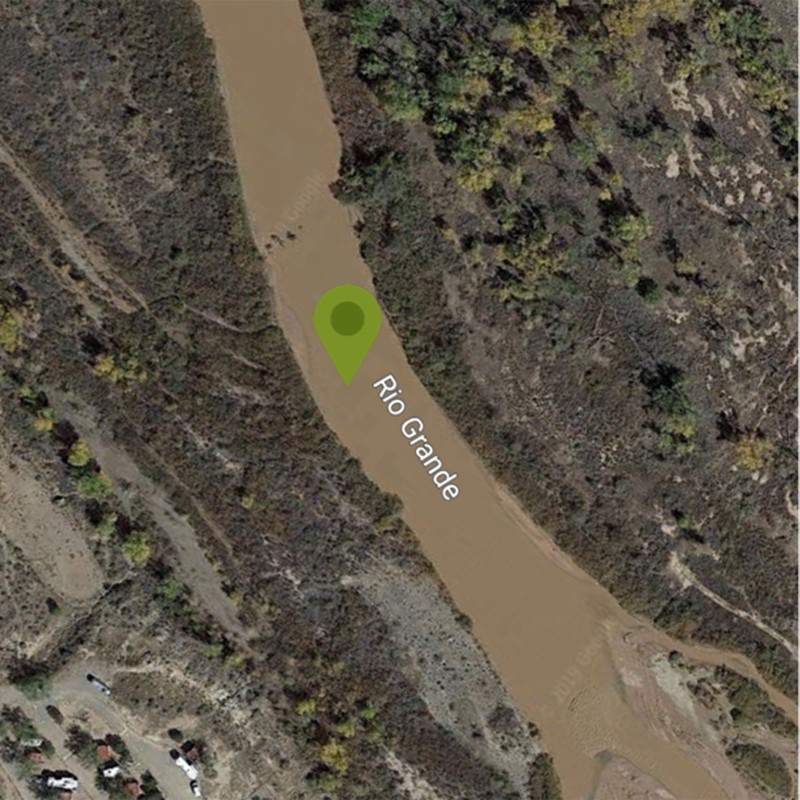
9. Middle Rio Grande (NM)
Route: Algodones to Corrales
While the Upper Rio Grande (hot tip: say “GRAHN-day,” rather than “GRAND”) is famous for its raucous rapids, the middle is a much calmer affair, and generally better suited for family outings. Considering its proximity to Albuquerque, the remote-feeling nature of this section is all the more remarkable. As is the volcanic topography that defines the region, and the peaceful stands of cottonwood trees.
Put-in: Algodones Dam, Algodones, New Mexico
Distance: 9.5 miles (one-way, shuttle)
Shuttle service and boat rental:Quiet Waters Paddling
Take note: The Rio Grande is best in spring and fall/winter months, when the temperatures are merciful. Those seeking more adventurous paddling should aim for early spring, when the water’s running high.
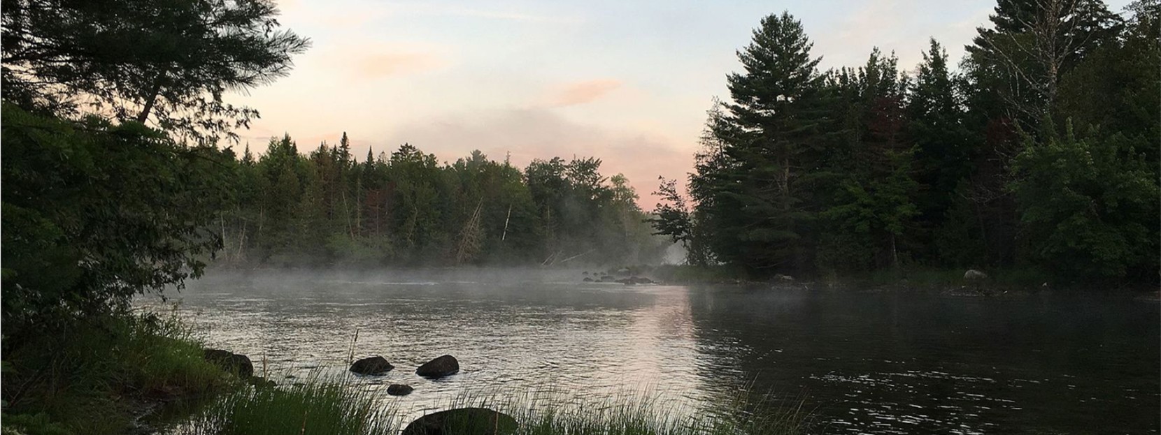
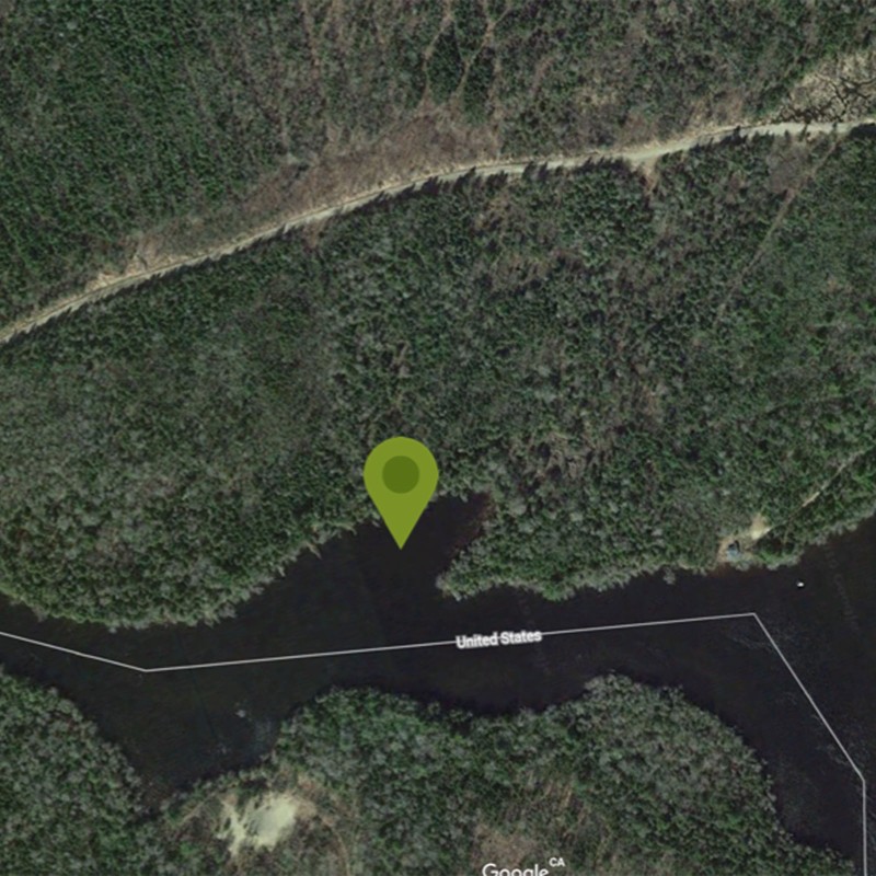
10. St Croix River (ME)
Route: Vanceboro to Little Falls
Tracing the US-Canadian border in eastern Maine, the St Croix serves up a diversity of water types, including the novice-friendly section between Vanceboro and Little Falls. Designated primitive camping sites dot the shore, and an abundance of smallmouth bass, as well as landlocked salmon and brook trout, mean the possibility of dining on fresh-caught fish cooked over an open fire is high. Bald eagles, moose, and white-tailed deer are frequent visitors to the St Croix’s shores, so be sure to pack your binoculars.
Put-in: Russell’s Landing. Vanceboro, Maine
Distance: 9.5 miles (one-way, shuttle)
Shuttle service and boat rental:Sunrise Canoe and Kayak
Take note: Look to the north and wave to your neighbors in Canada!
Related Stories


